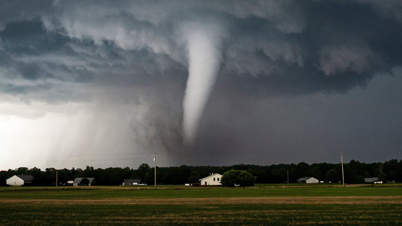
Forecaster warns of five-day severe weather outbreak with escalating tornado risk in Plains and Midwest
If you live anywhere from the central Plains through the Midwest, the skies are about to demand your focus for the better part of a week. Forecasters at the Storm Prediction Center and veteran meteorologists are tracking a sustained stretch of severe thunderstorms that begins today and holds through next Tuesday. The tornado threat starts modest but climbs noticeably, especially as the weekend arrives and the atmosphere grows more unstable.
Warm air from the Gulf keeps feeding northward while upper-level disturbances dig in from the west. That combination sets the stage for repeated rounds of organized storms capable of producing damaging winds, large hail, and isolated tornadoes. Residents in this corridor have seen these patterns before, but the duration here stands out even for May.
The Stretch of Stormy Days
Storms fire first across central Kansas this evening with a focus on hail and wind. The activity then shifts east Friday into northeastern Kansas, southeastern Nebraska, southern Iowa, and northwestern Missouri. By Saturday the corridor expands across the central Plains and lower Missouri Valley, setting up for broader coverage that lingers into early next week.
Each successive day adds another layer of moisture and wind shear. The result is a rolling sequence rather than one isolated event, which means the potential for severe weather returns afternoon after afternoon.
Key Areas Facing the Brunt
Portions of Oklahoma, Kansas, Nebraska, Missouri, and Iowa sit squarely in the path. Cities such as Wichita, Omaha, Des Moines, Kansas City, and Topeka could see multiple rounds. The Upper Midwest, including parts of Illinois and Minnesota, comes into play later as the system drifts east.
Rural communities along the dryline and near stalled fronts often catch the strongest cells. Urban centers face the same hazards but with added concerns around travel and power lines. The affected population runs into the millions across more than a dozen states.
The Hazards Building Up
Large hail remains a primary concern early on, with some stones reaching baseball size or bigger. Damaging wind gusts will accompany many of the stronger storms, snapping branches and downing power lines. Tornado chances increase as the weekend progresses, especially where supercells can form and persist.
Heavy rain could also lead to localized flooding, particularly where storms train over the same areas. The combination of these threats means outdoor plans carry extra risk, and structures without proper anchoring may sustain damage.
When Conditions Turn Most Dangerous
Saturday through Monday marks the highest potential, when wind shear and instability align most favorably. Sunday and Monday in particular could bring the strongest tornado risk across the central Plains and Missouri Valley. Overnight hours sometimes see the most surprise activity because storms move quickly with limited visibility.
Daytime heating will play a big role each afternoon, so the window for severe weather typically opens between mid-afternoon and midnight. Models suggest the pattern remains active enough that Tuesday still carries a chance before things finally ease.
Getting Ready Matters Most
Check your emergency kit now and make sure flashlights, batteries, and a battery-powered radio are on hand. Review your home’s safe spot, whether that is a basement, interior closet, or sturdy bathroom. Mobile homes and vehicles offer little protection, so have a plan to reach sturdier shelter quickly.
Keep an eye on local alerts through the National Weather Service or reliable apps. Charge your devices and consider a weather radio that works without power. Small steps taken today reduce stress when warnings start sounding.
Keeping Track as Events Unfold
The Storm Prediction Center updates its outlooks multiple times daily, so glancing at their maps each morning helps you stay ahead. Local television meteorologists often provide the most granular timing for your specific county. Social media from verified sources can fill in gaps, but always cross-check with official channels.
Weather can shift hour to hour, especially once storms develop. Having a few trusted sources bookmarked means you can react without scrambling when conditions change. Staying informed keeps you one step ahead of the system moving through the region.

Asher was raised in the woods and on the water, and it shows. He’s logged more hours behind a rifle and under a heavy pack than most men twice his age.