Major late-season storm could dump over 30 inches of snow with 70 mph winds
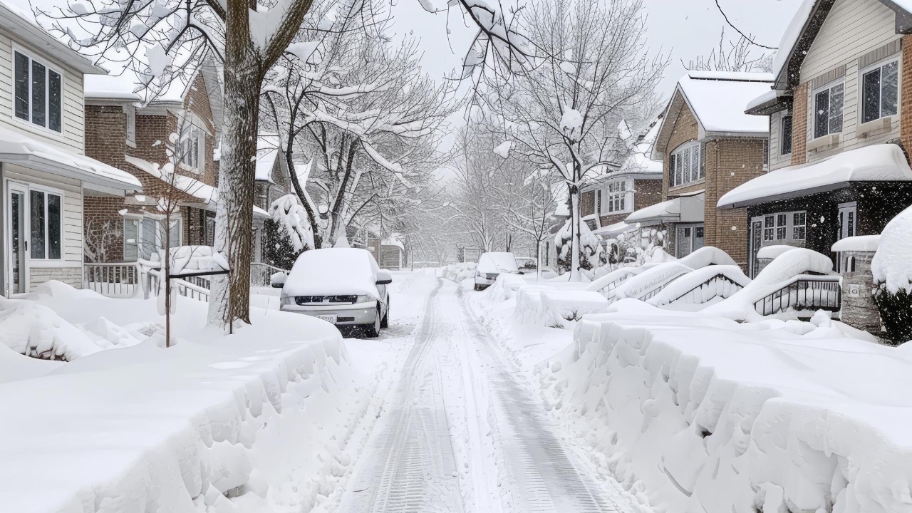
A major late-season winter storm is lining up to deliver a dangerous mix of heavy snow and damaging winds, with forecasters warning that some higher elevations could see more than 30 inches of accumulation and gusts near 70 mph. The setup follows a series of powerful blizzards earlier this year, raising concerns that exhausted communities will once again face whiteouts, road closures, and extended power outages.
From the Sierra Nevada to the Upper Midwest and interior Northeast, the storm is expected to tap into deep moisture and strong upper-level energy, creating a broad swath of treacherous travel and life-threatening cold. The pattern fits a season that has already produced multiple three-foot snow events and hurricane-force gusts, and it is likely to test emergency plans that have been in near-constant use since midwinter.
Where the heaviest snow is expected
Forecasters are watching the higher terrain of California closely, where the area around Bear Valley is projected to be among the hardest hit. Guidance indicates that between 13 and 33 inches of snow could pile up there as the core of the storm crosses the central Sierra, with the heaviest bands favored along west-facing slopes that squeeze extra moisture from the flow. That range of 13 to 33 inches would be enough to shut down mountain passes and leave ski areas digging out for days.
As the system moves east, it is expected to strengthen, with cold air wrapping in behind it and turning a broad zone from the northern Plains into the Upper Midwest into a snow corridor. Earlier this month, a separate storm buried parts of the region, and new projections suggest that localized totals in this event could again climb above 30 inches in narrow deformation bands that stall over the same counties for several hours.
Farther downstream, interior sections of the Northeast remain vulnerable. Earlier this year, communities there coped with an average of 32 inches during a major blizzard, and the new storm track appears likely to reload snowpack in some of those same basins. If the coastal low intensifies quickly, higher ridges in northern New England could also flirt with three-foot totals before the system finally pulls into Atlantic Canada.
Wind gusts that rival a coastal storm
Snow totals tell only part of the story. For many forecasters, the bigger concern is wind, which will determine how quickly conditions deteriorate on the roads and how widespread any power outages become. In the Sierra Nevada, a recent alert warned that peaks could see up to 16 feet of snow combined with gusts reaching 90 mph, a combination that turns even short trips into a serious risk and makes travel nearly impossible across exposed passes. That same alert described The Sierra Nevada mountains as experiencing severe whiteout conditions as the strongest bursts of wind lined up with the heaviest snow.
Closer to the upcoming event, forecasts tied to the same pattern highlight the potential for over 70 mph gusts along parts of the higher terrain and exposed ridges. The initial outlook for this late-season storm referenced Over 70 MPH Wind Gusts as a key hazard, with the strongest blasts expected on the windward side of the mountains and along any tight pressure gradients that form on the storm’s southern flank. That level of wind can topple trees already stressed by a long winter and bring down power lines even before the snow reaches its peak.
Elsewhere, similar systems have already shown how damaging this setup can be. In the western Carolinas earlier this year, a winter event brought Severe winds with gusts exceeding 60 mph at elevations above 3500 feet, while lower mountain areas still saw 30 to 40 mph gusts that scattered debris and contributed to scattered outages. That forecast, framed as What to Expect Significant snow accumulation, underscored how even mid-range gusts can create blizzard-like conditions when paired with heavy snow and temperatures near freezing.
Recent blizzards set the stage
The looming storm arrives in a season that has already rewritten record books across several regions. In New England, the Blizzard of 2026 dropped Over 37 inches in Providence and helped Rhode Island’s T.F. Green set an all-time snowfall record. During that same event, winds in parts of the Northeast topped 80 mph, turning highways into corridors of stranded vehicles and forcing plow crews to retreat until visibility improved. The combination of 37 inches and hurricane-force gusts showed how quickly infrastructure can buckle when snow and wind peak together, a lesson that now hangs over every new forecast for the region. Those impacts were documented in a detailed analysis of the Blizzard of 2026.
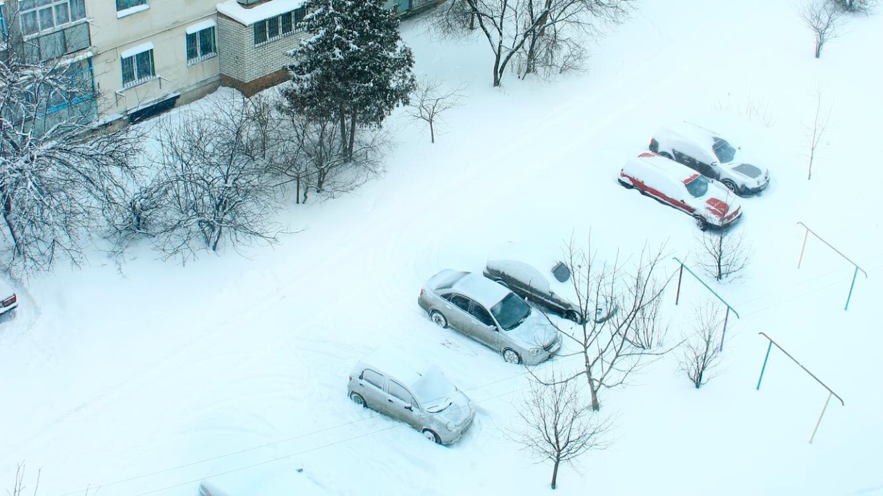
Farther west, the March 2026 North American blizzard delivered a historic hit to the Upper Midwest. A total of 26.6 in (68 cm) of snowfall was recorded at the Green Bay National Weather Service, the second highest on record at that site. That storm produced widespread drifts that swallowed vehicles and damaged roofs, and it also generated a long list of traffic accidents, some of which resulted in injuries. The official summary of the Green Bay National totals has become a reference point for how quickly conditions can deteriorate when heavy snow bands stall over a metro area.
In the interior Northeast, another major winter storm left communities dealing with a different kind of threat after the snow ended. That system produced an Average of 32 Inches of Snow across large parts of the region, then prompted Winter Storm Warnings Issued Following the main event as temperatures climbed and rivers began to rise. Hydrologists warned that the Northeast Faces New Danger With Ice Jam Risks, since thick river ice and deep snowpack can combine to block channels and redirect flow into nearby neighborhoods. Those downstream flooding concerns were outlined in a detailed discussion of Ice Jam risks that followed the blizzard.
Blizzard warnings and travel shutdowns
As the new storm organizes, forecasters are already signaling that blizzard criteria are likely to be met in several regions. Earlier this month, a Warning for Dangerous Blizzard covered parts of the Upper Midwest with projections of up to 36 inches of snow and whiteout conditions that could last for hours. That alert, which was Updated and Published as models converged, highlighted the risk of visibility dropping to near zero and warned that emergency crews might not be able to respond to stranded drivers until the worst passed. Details of that Dangerous Blizzard warning have become a template for the language now appearing in fresh outlooks.
Social media updates from regional meteorologists have echoed those concerns. One widely shared post described Travel becoming impossible as Visibility could drop near zero at times, with Meteorologis in northern Illinois and surrounding states urging residents to complete errands early and prepare to stay put for at least 24 hours. Another update framed the situation in the Upper Midwest as a powerful late-season event that would make highways impassable and potentially close interstates for stretches that normally remain open even during typical winter storms.
In the West, similar language has already been used for mountain corridors where chain controls are common. The Sierra Nevada has seen repeated closures on routes like Interstate 80 and U.S. 50 as crews battle back-to-back systems. Forecasters there have stressed that even four-wheel-drive vehicles with snow tires can lose control when heavy snow combines with 70 mph crosswinds on exposed ridges, and they have encouraged drivers to avoid nonessential travel until plows have a chance to catch up.
What the pattern says about the rest of the season
Behind the headlines, the late-season storm fits into a broader pattern of persistent cold and repeated Pacific and continental storm tracks. An update from the National Weather Service highlighted an active weather pattern across the United States, with several feet of snow expected across the West from the Sierra Nevada to the Rockies and multiple systems racing across the Midwest. That messaging, shared in a post that drew 324 likes, emphasized that another round of cold weather would extend into the following week, keeping snowpack in place and limiting melt rates.

Asher was raised in the woods and on the water, and it shows. He’s logged more hours behind a rifle and under a heavy pack than most men twice his age.