Significant Tornado Risk Hits Arkansas as Storm Chasers Activate Intercept Mode
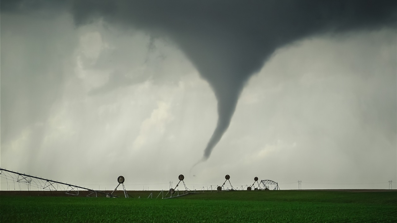
A strong weather system is pushing across the South this evening, and if you are anywhere near Arkansas, the atmosphere has turned restless in a way that demands attention. Meteorologists have been watching the ingredients line up for days: warm, moist air surging northward from the Gulf, a cold front sliding in from the west, and enough wind shear to let storms organize into supercells. Right now the focus sits squarely over the state, where discrete storms could spin up rotation quickly once they fire. The National Weather Service offices in Little Rock and surrounding areas have already highlighted the setup, and storm chasers from across the country have converged because the parameters look favorable for more than just ordinary thunderstorms.
Current Conditions Setting Up the Severe Weather
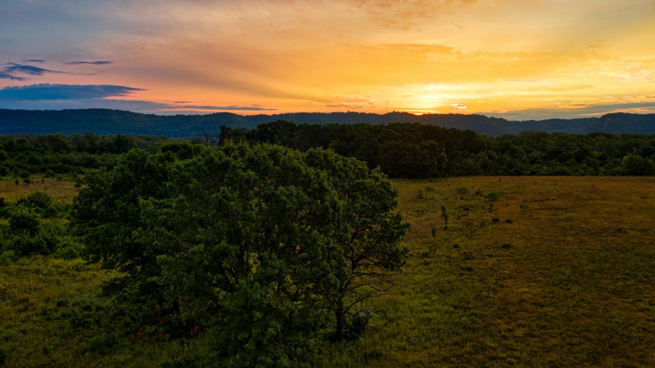
Warm air continues to stream into Arkansas from the south, pushing temperatures into the upper 70s and low 80s even as the sun dips lower. That moisture combines with a sharp temperature contrast at the cold front, giving storms the fuel they need to build tall and fast. Winds aloft are blowing from different directions than those near the ground, creating the spin that forecasters watch for in rotating updrafts.
As the front advances from the northwest, it forces that warm air to rise rapidly. Models show instability values high enough that any storm able to stay isolated could quickly become severe. You can already feel the air thickening if you step outside in central or northern parts of the state, the kind of heavy humidity that often precedes big weather.
The Tornado Threat Centered in Central Arkansas
The highest chance for a tornado sits over north-central and central sections of the state this evening and into the night. Discrete supercells are the main concern because they can maintain strong rotation longer than lines of storms. Forecasters note that a few of these cells could produce brief but intense tornadoes, possibly reaching EF2 strength if conditions align perfectly along the Interstate 40 corridor.
That risk remains conditional on storms staying separate rather than merging into a solid line. Once they do consolidate, the tornado potential drops while wind damage becomes more widespread. Residents in places like Little Rock, Jonesboro, and surrounding rural communities sit in the bull’s-eye for the earliest and strongest activity.
Storm Chasers Switching to Intercept Mode
Teams of experienced chasers have positioned vehicles and cameras across central Arkansas, ready to document any storms that develop rotation. Many are streaming live from spots near the predicted initiation zones, updating positions as radar shows new cells forming. Their presence on the ground adds real-time eyes where official networks cannot always reach.
These chasers follow strict safety protocols, staying out of the path of any warned storm while providing visual confirmation of hail size or funnel clouds. Their footage often reaches local emergency managers within minutes, helping fill gaps between radar scans and spotter reports.
Official Outlooks and Watches in Place
The Storm Prediction Center has placed much of Arkansas under a slight risk for severe weather, the second level on their five-tier scale. That includes the possibility of large hail, damaging winds, and a few tornadoes. A tornado watch now covers western and north-central Arkansas through midnight, giving residents several hours of advance notice.
Local National Weather Service offices have emphasized that the watch does not mean tornadoes are guaranteed, only that conditions favor them. Emergency managers urge everyone to review their plans now rather than waiting for sirens. The outlook updates continue through the night as the front progresses.
Timing of Storm Development This Evening
Storms should begin firing in western Arkansas late this afternoon and spread eastward through the evening hours. Peak activity for central sections looks to fall between 5 p.m. and midnight, when the combination of daytime heating and the advancing front reaches its strongest point. After midnight the line of storms may push into eastern Arkansas and weaken somewhat as it encounters less favorable air.
Overnight rain will linger across southern portions of the state into Wednesday morning, but the main severe window closes by early Wednesday. That timeline gives people a clear window to monitor radar and move to safe shelter if warnings go up.
Other Severe Weather Hazards to Watch
Even without a tornado, storms can still deliver damaging wind gusts up to 70 miles per hour and hailstones larger than two inches. Those hazards often accompany the same supercells that produce rotation. Power outages remain a real possibility across rural areas where lines are more exposed.
Heavy rainfall could also cause localized flooding, especially in spots that have seen recent rain. The combination of wind, hail, and downpours means outdoor plans should be adjusted and vehicles kept under cover when possible.
Steps You Can Take to Stay Informed
Keep a weather radio or phone app with alerts turned on, and designate an interior room or closet on the lowest floor as your safe spot. Charge devices now and have a flashlight handy. If you hear thunder, head indoors immediately because lightning accompanies these storms as well.
Follow updates from the National Weather Service Little Rock office or local television meteorologists who are tracking the storms in real time. Avoid unnecessary travel once storms develop, and never try to outrun a rotating cell on the highway.
What to Expect as the System Moves East
By early Wednesday the cold front will have cleared most of Arkansas, taking the strongest severe threat with it. Lingering showers may continue across the south, but the atmosphere should stabilize quickly behind the front. Temperatures will drop noticeably, offering a break from the recent warmth.
The event serves as a reminder of how quickly spring weather can shift in this region. Once the system exits, crews will assess any damage and utilities will begin restoring power where lines came down. For now, the priority remains watching the sky and staying prepared through the night.

Asher was raised in the woods and on the water, and it shows. He’s logged more hours behind a rifle and under a heavy pack than most men twice his age.