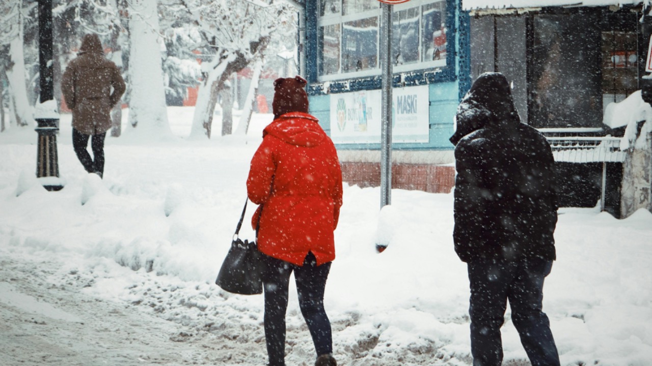
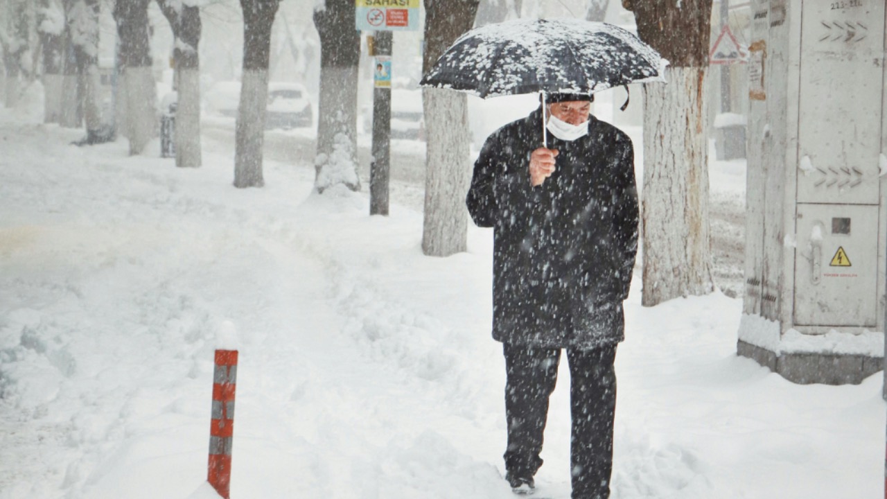
Winter weather patterns meteorologists are watching closely this season
Winter across the United States is unfolding as a tug of war between lingering cold, surges of warmth from the south, and a conveyor belt of storms that keeps refilling the snowpack in some regions while leaving others oddly bare. Meteorologists are zeroing in on a handful of recurring patterns that are likely to decide who gets buried in snow, who deals with dangerous ice, and who simply watches the drama unfold on radar. From the Arctic to the tropics, the signals are lining up in ways that can tilt the odds for the rest of the season.
Those signals do not guarantee a specific outcome in any one city, but they do sketch out a set of high‑impact scenarios worth watching closely. A weak La Niña in the Pacific, a jumpy Arctic atmosphere, a split jet stream and a series of storm windows for the Northeast and Southeast are all on the table. Together they add up to a winter where timing and track will matter as much as raw cold.
How a weak La Niña is shaping the broad winter canvas
For the big picture this season, the starting point is the Pacific. As of the latest guidance, the NOAA Climate Prediction Center has described a weak La Niña in place, and that background state has a long record of nudging winter patterns in familiar directions. Historically, La Niña winters tend to run warmer across the South and cooler across the Northern Plains, while also favoring a more active storm track across parts of the northern tier. That broad setup raises the odds that cold air and moisture will meet more often near the U.S.‑Canada border, even if the southern states see more episodes of chilly rain than deep freezes.
A detailed Winter 2025‑2026 Outlook built around this pattern emphasizes that La Niña is a driver of probability, not a promise. That serves as a reminder that local outcomes will still depend on shorter‑term features riding on top of the La Niña base state, such as passing jet streaks and individual storm tracks. For day‑to‑day planning, the La Niña signal functions as a backdrop that can help explain why some regions keep seeing repeat snow chances while others are stuck in a thaw, rather than as a forecast of any single storm.
ENSO, the MJO and why the tropics matter for your snow day
Even with La Niña in place, the tropics offer additional clues. The El Niño–Southern Oscillation, often shortened to ENSO, links sea surface temperatures in the equatorial Pacific to shifts in global circulation, and the current weak La Niña phase is one part of that story. Another key piece is the Madden‑Julian Oscillation, or MJO, which climate researchers describe as a pulse of thunderstorms that travels eastward along the equator and can reshape jet streams as it moves. When the MJO is active over the Indian Ocean or western Pacific, it can enhance or suppress storminess over North America roughly one to two weeks later.
Technical explainers on ENSO and the question of what MJO is and why forecasters care highlight how these tropical signals modulate storm tracks and temperature swings. Those insights help explain why a quiet stretch can suddenly flip into a parade of systems, or why a cold outbreak might relax more quickly than models first suggested. For anyone tracking potential snow days, the takeaway is that the tropics can quietly load the dice for a stormy two‑week window long before the first flake shows up on local radar.
The Arctic’s uneasy balance and early February’s warning signs
Far to the north, the stability of the Arctic atmosphere is another pattern drawing close scrutiny. Meteorologists have flagged early February as a potential tipping point for Arctic stability, with some analyses warning that a disruption in the polar vortex could open the door for lobes of cold air to spill south into mid‑latitudes. One report frames early February as a critical moment for Arctic stability, suggesting that the configuration of high‑latitude pressure systems could either lock the cold in place or release it in waves toward North America, Europe and Asia.
At the same time, climate researchers are documenting a different story in the high north. Analyses tied to the same early February window describe Arctic temperatures running several degrees above normal and sea ice thinning, even as some mid‑latitude locations experience sharp cold snaps. That contrast is fueling a debate that splits scientists and skeptics, with one side pointing to long‑term warming and the other focusing on short‑term chill. From a pattern‑watching standpoint, the key is that a warmer, less stable Arctic can still send intense cold south in bursts, and those bursts can align with active storm tracks to produce high‑impact winter weather far from the pole.
The Arctic and North Atlantic Oscillations: gatekeepers of cold
To translate Arctic behavior into local impacts, forecasters lean heavily on two indices: the Arctic Oscillation (AO) and the North Atlantic Oscillation (NAO). When the AO is in a positive phase, strong westerly winds tend to keep cold air bottled up near the pole, which often leads to milder conditions across much of the United States. A negative AO, by contrast, signals a more disrupted polar flow that can allow frigid air to plunge south. The official monitoring page for the Arctic Oscillation tracks these swings and helps explain why some winters feature repeated arctic outbreaks while others barely scrape freezing in the same locations.
The NAO works in tandem by describing pressure patterns over the North Atlantic that steer storms and influence where blocking highs set up. A detailed overview of North Atlantic variability shows how a negative NAO phase can slow the jet stream, encourage blocking near Greenland and favor coastal storms along the Eastern Seaboard. When both the AO and NAO trend negative at the same time, East Coast forecasters start watching more closely for nor’easter potential, especially if there is already a supply of cold air in eastern Canada waiting to be tapped.
Jet stream splits and a busier storm track
Closer to home, the shape of the jet stream is offering another strong signal about how the rest of winter could unfold. Forecasters discussing the NEXT 30 DAYS in a recent pattern outlook describe a more active setup with both subtropical and polar jets in play, highlighting how a split flow can increase the number of disturbances crossing the country. In that discussion, the phrase THE NEXT DAYS and the description that Over the coming weeks the sub‑tropical and polar jets will both contribute to storm development point to a pattern where moisture from the south and cold from the north can interact repeatedly.
Video analysis of a busy late winter pattern notes that the change in mid‑February is that warmer heights are building across the southern United States, a classic setup for an active storm track on the boundary between warm and cold. In that context, one forecaster explains that the change is that warmth is trying to build across the southern U.S., a configuration highlighted in a late winter briefing on Busy Late Winter. That suggests the jet will sharpen along that temperature gradient, opening multiple storm windows where low pressure systems can ride the divide between air masses and tap Gulf moisture for heavy precipitation.
Storm windows for New England and the Northeast
Nowhere does that sharpened gradient matter more than in New England, where relatively small shifts in storm track can mean the difference between rain, heavy snow or a dry miss. A recent regional forecast notes that Cold is still pooled in eastern Canada, but it is disjointed and not nearly as intense, which leaves New England riding a boundary between that lingering chill and milder air to the south. In a pattern discussion titled Pattern Predictions, the analyst explains that this setup can keep the region near‑seasonable overall but unsettled, with frequent weak systems and the potential for one or two stronger storms if the boundary sharpens.
Local forecasters in Boston are already acting on that signal. One update warns of Major Snowstorm Potential, noting that All signs are pointing to a BIG winter storm developing Saturday and Sunday for parts of the region. That same discussion mentions that meteorologists are currently tracking three different winter storms that could hit New England, which fits with the broader idea of multiple storm windows rather than a single blockbuster event. For residents from Hartford to Portland, that is a cue to follow the evolving forecast closely, since modest changes in the position of the boundary with Canada’s cold air could dramatically change snowfall totals.
Wet western mountains and shifting central U.S. travel risks
While the East debates storm track, the western United States is dealing with a different flavor of active weather. A recent update describes a wet weather pattern continuing across the western United States, bringing much needed snow to higher elevations and Heavy snow continuing in the mountains. That snapshot, shared alongside an active pattern clip, underscores how Pacific systems are still feeding moisture into the Rockies and Sierra, improving snowpack but also raising avalanche and travel concerns on high‑elevation passes.
Farther east, a separate forecast highlights a touch of freezing rain to watch for, but otherwise a good travel pattern developing as a major pattern change brings much warmer air from the southwest. That discussion notes that the European model shows warmth spreading across roughly the southern two‑thirds of the country, while the northern tier stays closer to seasonal norms. That shift, summarized in the phrase that the major pattern change will continue to develop over the next week, in a piece on good travel pattern, serves as a warning that while widespread blizzards may ease, pockets of freezing rain at the leading edge of the warmth can still create hazardous conditions on interstates from the Plains into the Midwest.
Southern and Southeast ice threats as cold undercuts Gulf moisture
In the South, a different kind of high‑impact event is on the radar: ice. When shallow cold air slips south beneath warmer, moist air from the Gulf, the result can be freezing rain or sleet even in places that rarely see accumulating snow. Meteorologists along the South Carolina coast are already monitoring a potential winter storm with freezing threats in the Southeast, warning that snow, sleet, hail and freezing rain are all possible outcomes as cold air filters in. In that coverage, Neil Dixon, a meteorologist with the National Weather Service in Charleston, explains that precipitation is expected to continue as cold air deepens, with multiple systems helping to regenerate moisture.
That kind of setup is also consistent with the broader La Niña pattern, which often brings a warmer winter in the South and a colder winter in the Northern Plains, while also favoring a stormier regime in parts of the country. A seasonal outlook on La Niña notes that for the U.S., La Niña usually means a warmer winter in the South and a colder winter in the Northern Plains, which can limit the depth of cold air in the Gulf states but still allow shallow surface chill to sneak in. That is a recipe for more borderline events where temperatures hover near freezing and a small shift in the cold dome can turn a chilly rain into a damaging glaze on bridges and power lines from Texas to the Carolinas.
What these patterns mean for the rest of winter
Pulling these threads together, late winter looks to be shaped by competing influences rather than a single dominant driver. The weak La Niña and active MJO keep the storm track busy, the AO and NAO determine how much cold is available to tap, and the evolving jet stream pattern sets the stage for regional hot spots of snow and ice. In New England, that means watching each new wave that rides the boundary with Canada’s cold pool, while the West continues to stack up mountain snow under a wet Pacific flow and the South navigates periodic ice threats when shallow chill undercuts Gulf moisture.

Leo’s been tracking game and tuning gear since he could stand upright. He’s sharp, driven, and knows how to keep things running when conditions turn.