National Weather Service issues critical warnings for four states
The National Weather Service has issued a rare set of “critical” fire weather warnings that put four states on high alert for fast-moving wildfires. The alerts focus on a corridor of dry, windy conditions where even a small spark could quickly turn into a dangerous blaze.
Forecasters say the combination of low humidity, gusty winds and parched vegetation has created an environment where fires can start easily and spread rapidly across large areas. The warnings also underscore how a winter pattern of strong storm systems in some regions and persistent dryness in others is sharpening the contrast between flood and fire risk across the country.
Where the fire risk is highest
The current fire weather focus is on a cluster of states stretching from the Southern High Plains into parts of the Midwest, with the National Weather Service describing “Critical Fire Weather in the Southern High Plains” alongside heavy winter storms elsewhere. Within that broader pattern, the agency has highlighted four states for “critical” fire conditions tied to very low relative humidity and strong surface winds. Coverage includes large portions of Missouri and New Mexico as well as fire-prone areas of the southern Plains and nearby regions that share similar fuel and wind profiles.
In the central United States, the warning zone includes parts of Texas and neighboring states where grasses and brush have dried out after recent frontal passages. Farther north and east, forecasters have flagged portions of Missouri for similar fire weather concerns, even as other parts of the country contend with “Heavy Snow in the Great Lakes and Northeast U.S.” and “Gusty winds” tied to winter storms. The result is a sharp geographic split, with some communities digging out from snow while others are being urged to avoid any outdoor burning.
Why the National Weather Service escalated to “critical”
Fire weather outlooks use a stepped scale, and forecasters reserve the “critical” label for periods when multiple ingredients for dangerous fire behavior line up at the same time. According to guidance that explains “Fire Weather Outlooks Explained ELEVATED” and higher categories, a critical setup typically features strong, sustained winds over dry fuels and very low humidity, often under 20 percent, with little recent rainfall to moisten grasses and brush. Under those conditions, a single ignition from a vehicle, power line or backyard burn can outrun initial attack resources in minutes.
National Weather Service briefings for the Western Region describe “Critical Fire Weather in the Southern High Plains” driven by “Gusty winds and low relative h…” along with a separate belt of winter storms that are producing “Heavy Snow in the Great Lakes and Northeast.” That pattern reflects how numerous storm systems moving through some regions can dry out fuels between rain events and create “high to extreme fire danger ratings” when strong winds coincide with warm, dry air. The agency’s decision to issue “critical” fire warnings for four states, including Missouri and New Mexico, signals that those thresholds have been met or exceeded over a broad area.
State by state: how conditions differ
In Texas, the warning focuses on the southern High Plains and adjacent areas where persistent wind has stripped moisture from rangeland grasses. Forecasters describe a setup in which warm, dry air surges in behind passing fronts, then combines with gusty surface winds to push any grassfire quickly across open country. Ranching communities and small towns along this corridor have seen similar patterns in previous years, where a roadside ignition or equipment failure can lead to a fast-moving line of fire that threatens homes on the outskirts of cities such as Lubbock or Amarillo.
Farther north, parts of Oklahoma share the same dry, windy pattern, especially in the western half of the state where grass and brush fuels dominate. The National Weather Service has highlighted that when relative humidity drops and winds increase across the Plains, even small fires in Oklahoma’s open country can make rapid runs that jump roads and fire breaks. Those conditions often extend into neighboring states, which is why the current “critical” designation spans multiple jurisdictions instead of being confined to a single forecast office.
New Mexico, Missouri and the broader national picture
In the interior Southwest, New Mexico sits squarely within the “Southern High Plains” zone referenced in National Weather Service briefings. High-elevation valleys and plateaus can experience very low humidity when downslope winds develop, drying out pinyon juniper, grasslands and forest understory fuels. Fire managers in New Mexico watch those patterns closely because a critical fire weather day can turn a small prescribed burn or debris pile into a wildfire that threatens communities along the wildland-urban interface.
To the northeast, parts of Oklahoma and neighboring Missouri are dealing with a different but related challenge, where strong pressure gradients around winter storm systems create “Gusty winds” even as temperatures fluctuate. The National Weather Service’s national portal highlights how those winds, combined with dormant vegetation, can generate pockets of elevated or critical fire danger on the fringes of storm tracks. At the same time, the agency’s main site for national forecasts shows a patchwork of hazards that includes “Heavy Snow in the Great Lakes and Northeast” alongside the fire weather alerts, underscoring how fire and winter weather can coexist within the same broader pattern.
What a Red Flag Warning means for people on the ground
When the National Weather Service issues a Red Flag Warning, it does so “in conjunction with land management agencies” to signal that “extreme fire behavior” is either occurring or expected to occur shortly. The agency’s Wildfire Safety guidance urges people to “Be extremely careful with open flames” during any period of heightened Fire Weather, especially on days classified as critical. That means avoiding outdoor burning, securing trailer chains that can throw sparks, and using caution with equipment that might ignite dry grass.
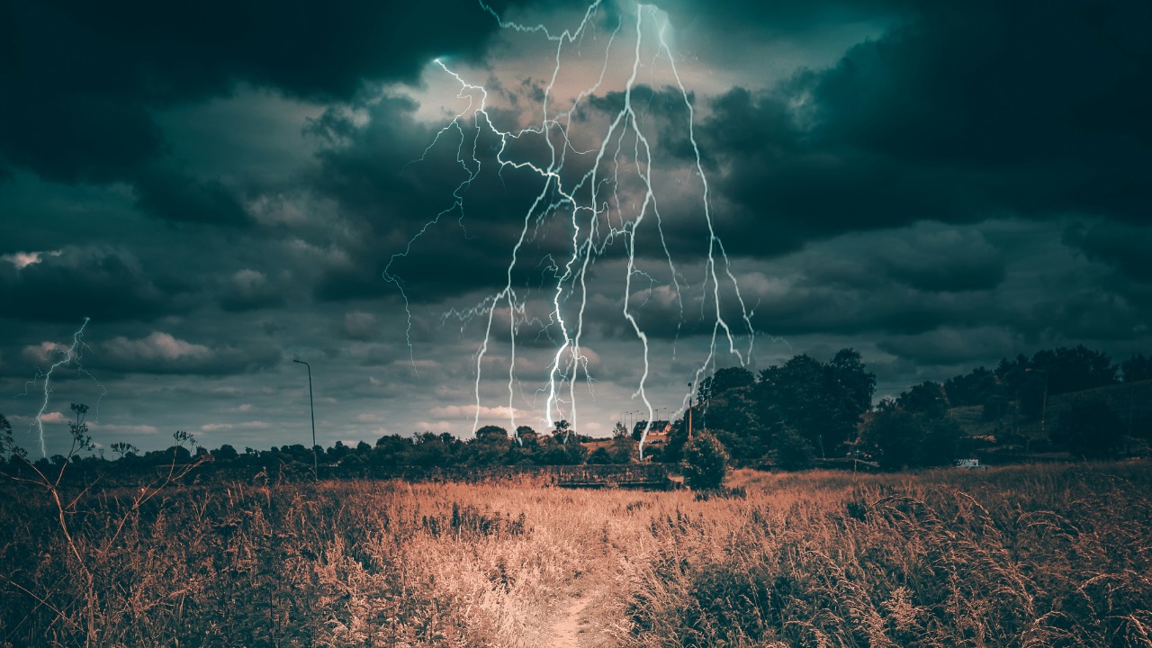
Forecasters also warn that fire weather is only part of the hazard picture. The National Weather Service account on X has reminded followers that “Thunderstorms can produce deadly lightning strikes up to 10 miles away” and encourages the simple message, “See a Flash, Dash Inside,” directing people to check “weather.gov for the latest.” That advice matters even on fire weather days, since dry thunderstorms can ignite new fires far from the main storm core. For people living in the four states currently under critical warnings, the combination of lightning, gusty winds and parched fuels makes it essential to monitor local alerts and be ready to move quickly if a wildfire starts nearby.
Leo’s been tracking game and tuning gear since he could stand upright. He’s sharp, driven, and knows how to keep things running when conditions turn.