Meteorologist warns powerful “Snow Train” could sweep across the U.S. over the next week
We’re heading into a stretch of weather that’s going to feel relentless if you live anywhere from the Plains to the Northeast. Meteorologists are talking about a pattern where multiple snow-producing systems are sliding across the country in succession, like cars on a freight train — hence the term snow train. These aren’t one-off flurries; each wave of cold air and moisture has the potential to drop real snow, especially when Arctic air is involved.
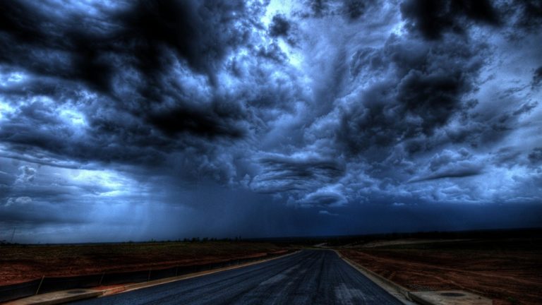
This kind of setup often happens when a strong jet stream guides successive disturbances — Alberta clippers and coastal storms — across the nation, meaning that as one system finishes, another is already on its way. When that pattern locks in for days, regions can get hit again and again, which strains roads, utilities, and travel plans.
Fresh Arctic Air Sets the Stage
The story begins well before snow hits the ground. A surge of Arctic air is expected to plunge southward across the U.S., setting the temperature stage for wintry systems to produce snow rather than rain. That colder air mass increases the chance that precipitation falls as snow and accumulates.
In this pattern, each advancing cold front ahead of a strengthening jet stream has the potential to trigger a new snowstorm. Meteorologists watch the temperature gradient closely, because when frigid Arctic air meets moist, warmer air from the south, the atmosphere becomes more efficient at generating precipitation — and often snow. This repeated interaction fuels the “train” of snow events rather than letting the atmosphere settle between storms.
Fast-Moving Systems Will Bring Repeated Snow
The type of system many forecasters are tracking next week — known as an Alberta Clipper — develops quickly and moves fast from west to east across the northern U.S. These systems don’t hang around for days, but they can pack decent snow in a short window as they race along the jet stream.
Coupled with the persistently cold air, every clipper that follows acts like another link in the snow train. For parts of the Midwest, the Great Lakes, and the Northeast, that means snow may fall several days in a row with only brief breaks. It’s the pattern, more than any one storm, that forecasters are watching — because multiple clippers in sequence can feel like a marathon of winter weather.
Mid-Atlantic and Northeast Likely to See Heavy Accumulations
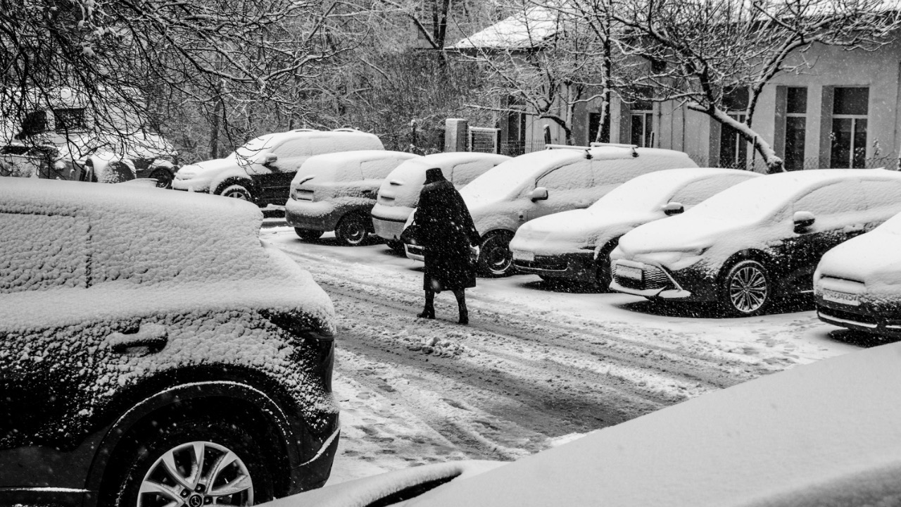
Places that were already buried by recent storms — like Philadelphia, parts of New Jersey, and New York — know the impact firsthand. Some communities in the Northeast have seen snow totals well over a foot, with rapid accumulation slowing travel and snarling transit.
With the next systems lined up, meteorologists expect snow and wind to return through the week. That’s not unusual in a snow train pattern, but it means crews are staying busy clearing roads and utilities are preparing for repeated stress. Snow that falls and doesn’t have time to melt can build over time, making each subsequent storm feel even heavier.
Travel Disruptions Could Be Widespread
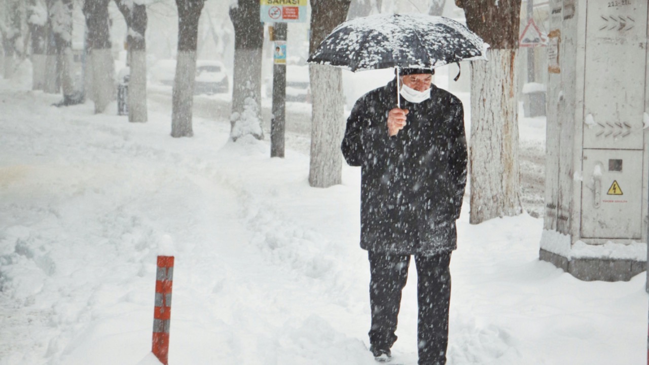
Any time you string storms together like train cars, travel becomes a major concern. Airports, highways, and rail lines in affected regions already saw shutdowns with the last round of winter weather, and repeated storms increase the risk of more cancellations and delays.
Drivers will face plowed but still challenging roads, and public transport often runs on reduced schedules when snow is frequent. Even if one storm doesn’t knock things out, another arriving on its heels can push systems toward gridlock faster than most of us expect.
Snow Squalls Add Another Challenge
Beyond the big, broader storm systems, meteorologists also watch for snow squalls — sudden, heavy bands of snow with gusty winds and poor visibility. They’re not long-duration events, but they can hit travel corridors hard and without much warning.
Snow squalls can occur in the wake of cold fronts, especially when the air is very cold and there’s a source of moisture to fuel the snow. In a pattern with frequent disturbances, squalls are another way the landscape can change quickly, catching even experienced drivers off guard.
Cold-Air Patterns That Keep Storms Coming
This active pattern isn’t random. It’s tied to large-scale atmospheric behavior, including the position of the jet stream and surges of Arctic air that push south repeatedly. Those broad patterns don’t change overnight.
When the jet stream is amplified — meaning deep troughs dip southward and ridges rise to the north — there’s a stronger tendency for storm systems to ride that path like cars on rails. So the “snow train” isn’t just a catchy phrase; it reflects how the atmosphere is organizing energy and moisture over North America in the current setup.
What This Means for You
If you live anywhere in the path of the next wave of systems, planning ahead matters. Repeated snow can pile up over time, making cleanup harder and travel tougher. Stay tuned to local forecasts, heed travel advisories, and give yourself extra time if you head out.
In a snow train pattern, it’s not just one storm you’re preparing for — it’s the next several, one after another, and that’s what forecasters are warning about this week.

Asher was raised in the woods and on the water, and it shows. He’s logged more hours behind a rifle and under a heavy pack than most men twice his age.